Infographic About Planet Earth Template
Create your own infographic of planet earth by easily customizing this infographic of planet earth template. Create high-quality infographics today.
100% customizable templates
Millions of photos, icons, charts and graphics
AI-powered editing features
Effortlessly share, download, embed and publish
Easily generate QR codes for your designs
- Design stylemodern
- Colorsdark
- SizeLetter (8.5 x 11 in)
- File typePNG, PDF, PowerPoint
- Planpremium
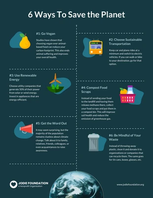
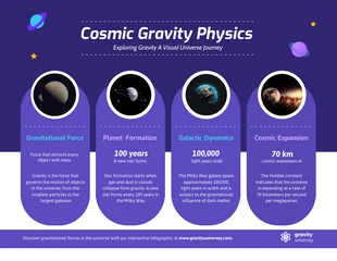
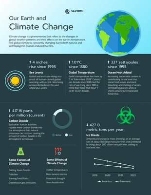
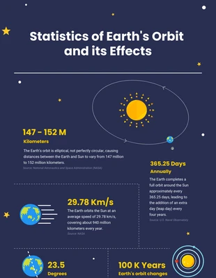
An infographic of planet earth is a visual representation of the surface of our planet. It can be used as a reference tool for places, resources, or people living on Earth. It can also be used to help visualize different topics related to the Earth's surface, such as weather patterns and natural disasters. Infographics of planet earth are useful in many ways. They can be used as a reference tool to see where various countries, landmarks or cities are located around the world. They can also be used to see how climate change has impacted certain areas of our planet over time by comparing past images with current ones. Infographics can also be used to showcase how many people live in specific areas around the globe so that people can get an idea about how big (or small) their country is compared with others around them! There are many benefits to using an infographic about planet earth. One advantage is that it will allow people who use this infographic to learn more about their home planet without having to do any work

